
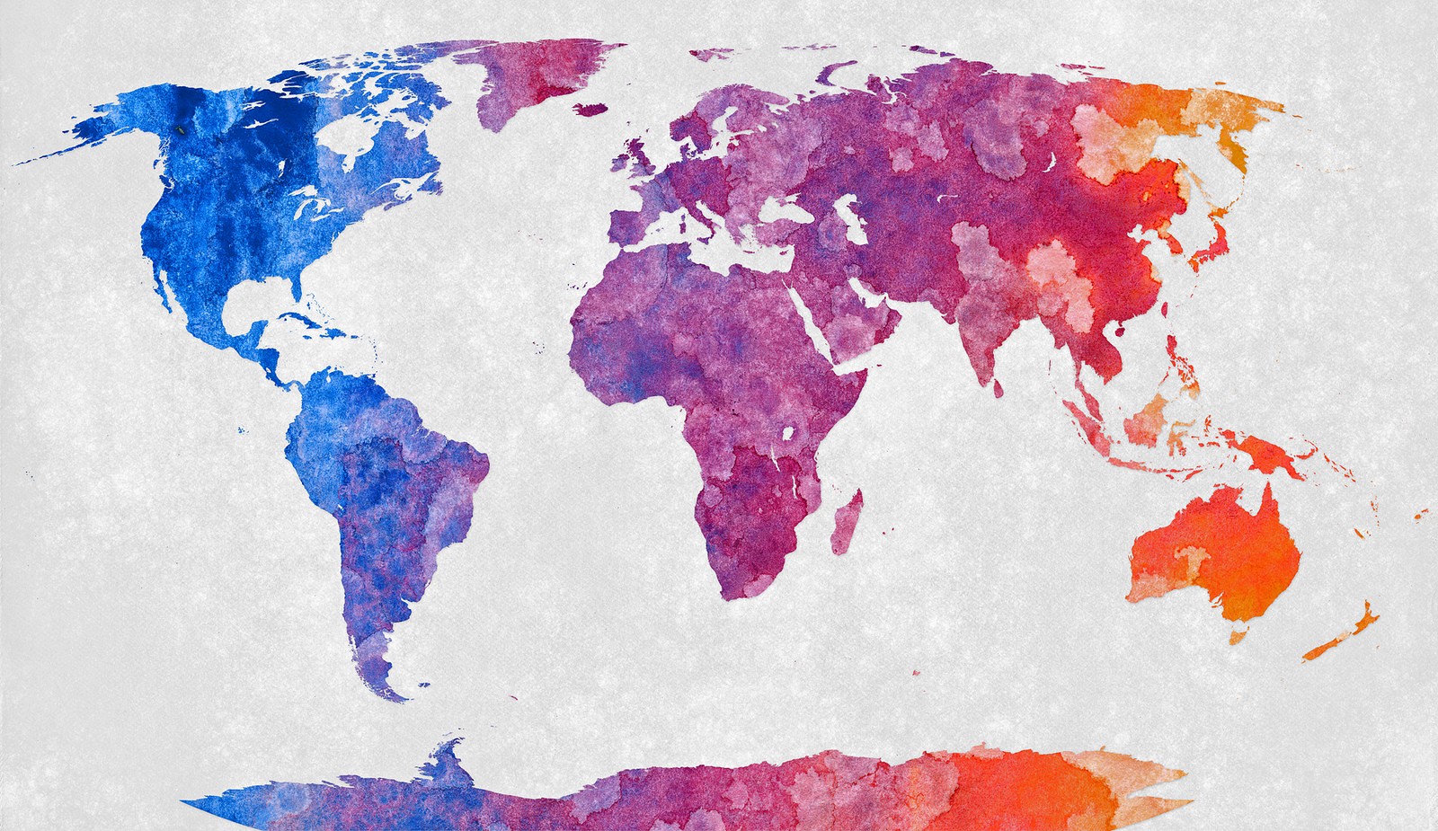
 Recently, administrators at Boston Public Schools announced they would switch to using the Gall-Peters map in their classrooms, and move away from the more common and much older Mercator map. Billed as an effort to “decolonize” the curriculum, the school district, with a school population that’s largely black and Latino, is phasing out Mercator in the first step of a three-year restructuring plan.
This is an unprecedented and strange move — after all, no map projection is a truly accurate depiction of a three-dimensional surface, and all maps cause some kind of distortion. Sure, it’s true that some distort more than others. In fact, the Gall-Peters map distorts shape so extremely at the equator and at the poles that its most frequent use is not for navigation or land-area study, but as a sharp contrast to the maps that we are used to seeing. While I strongly believe that there is no real reason to use a Gall-Peters map extensively, its use could be valuable if it’s compared and contrasted to other projections.


No comments:
Post a Comment