

Capabilities
Best Mapping and Analytics Platform
PakGISRS | ArcGIS offers unique capabilities and flexible licensing for applying location-based analytics to your business practices. Gain greater insights using contextual tools to visualize and analyze your data. Collaborate and share via maps, apps, dashboards and reports.
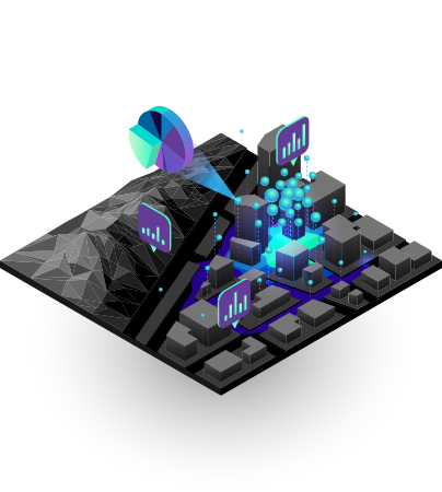
Connect the seemingly disconnected with the most comprehensive set of analytical methods and spatial algorithms available. Use location as the connective thread to uncover hidden patterns, improve predictive modeling, and create a competitive edge. Leverage the power of spatial analysis and data science on demand and at scale with the Esri Geospatial Cloud. Learn more

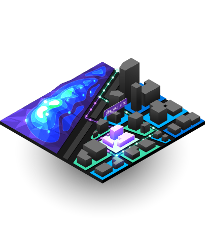
Mapping
Maps help you spot spatial patterns in your data so you can make better decisions and take action. Maps also break down barriers and facilitate collaboration. ArcGIS gives you the ability to create, use, and share maps on any device.
Maps help you spot spatial patterns in your data so you can make better decisions and take action. Maps also break down barriers and facilitate collaboration. ArcGIS gives you the ability to create, use, and share maps on any device.
Field Operations
Location is at the heart of field activities. Focused ArcGIS applications can be used stand-alone or in combination to support field workflows and enable office and field personnel to work in unison, using the same authoritative data.


No comments:
Post a Comment