
LANDSAT 8 (L8) DATA USERS HANDBOOK
 The Landsat Program has provided over 40 years of calibrated high spatial resolution data of the Earth's surface to a broad and varied user community. This user community includes agribusiness, global change researchers, academia, state and local governments, commercial users, national security agencies, the international community, decision-makers, and the public. Landsat images provide information that meets the broad and diverse needs of business, science education, government, and national security.
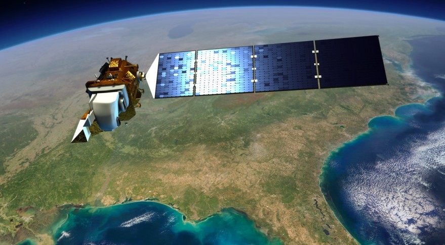
 The fundamental L8 operations concept is to collect, archive, process, and distribute science data in a manner consistent with the operation of the L7 satellite system. To that end, the L8 Observatory operates in a near-circular, near-polar, Sun-synchronous orbit with a 705 km altitude at the Equator. The Observatory has a 16-day ground track repeat cycle with an equatorial crossing at 10:11 a.m. (+/−15 min) mean local time during the descending node. In this orbit, the L8 Observatory follows a sequence of fixed ground tracks (also known as paths) defined by the WRS-2 (a path / row coordinate system used to catalog all of the science image data acquired from the Landsat 4-8 satellites). The L8 launch and initial orbit adjustments placed the Observatory in an orbit to ensure an 8-day offset between L7 and L8 coverage of each WRS-2 path.

The Landsat Program has provided over 40 years of calibrated high spatial resolution data of the Earth's surface to a broad and varied user community. This user community includes agribusiness, global change researchers, academia, state and local governments, commercial users, national security agencies, the international community, decision-makers, and the public. Landsat images provide information that meets the broad and diverse needs of business, science education, government, and national security.The fundamental L8 operations concept is to collect, archive, process, and distribute science data in a manner consistent with the operation of the L7 satellite system. To that end, the L8 Observatory operates in a near-circular, near-polar, Sun-synchronous orbit with a 705 km altitude at the Equator. The Observatory has a 16-day ground track repeat cycle with an equatorial crossing at 10:11 a.m. (+/−15 min) mean local time during the descending node. In this orbit, the L8 Observatory follows a sequence of fixed ground tracks (also known as paths) defined by the WRS-2 (a path / row coordinate system used to catalog all of the science image data acquired from the Landsat 4-8 satellites). The L8 launch and initial orbit adjustments placed the Observatory in an orbit to ensure an 8-day offset between L7 and L8 coverage of each WRS-2 path.


No comments:
Post a Comment