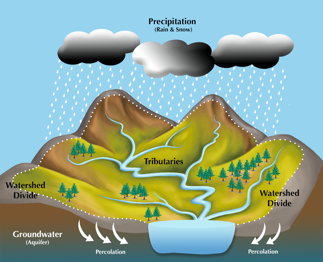
- Major Watersheds of the World Deliniation:
- The Vector data in this link showing the outterline of major watersheds (river basins) across the world.
- Water Isotopes: The Global grids of hydrogen and oxygen isotope composition of precipitation and environmental waters in ArcGRID file format. In this link data can be downloaded for whole globe and also individual continents.
- HydroSHEDS: The hydro-logical data and maps based on the STRM elevation data. Which contain the DEM File also this data Includes river networks, watershed boundaries, drainage directions and flow accumulations for the globe.
- Catchment Characterisation and Modelling: Data on river basins, catchments and rivers for the European Union area only data is updating the other data will show there soon.


No comments:
Post a Comment